Description
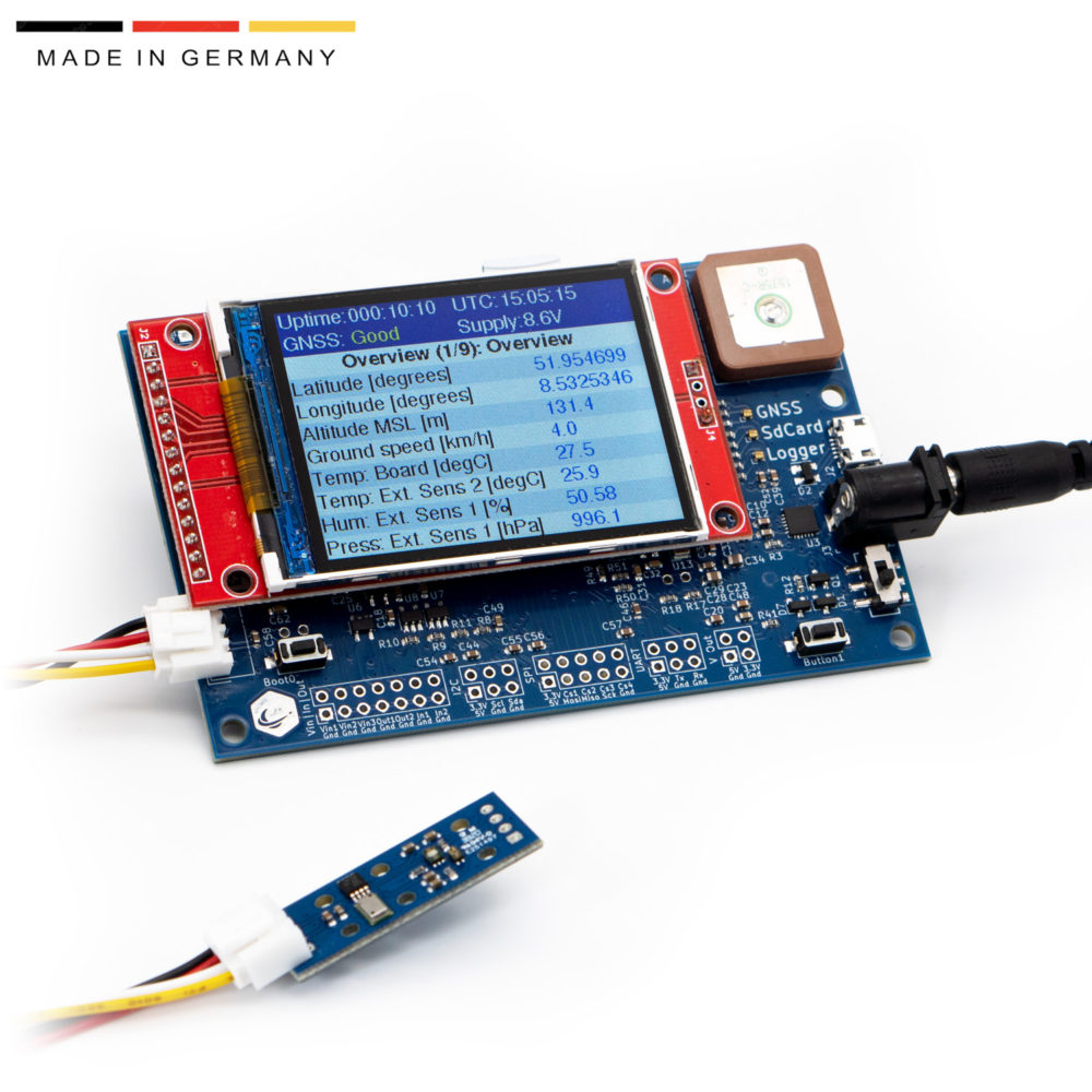
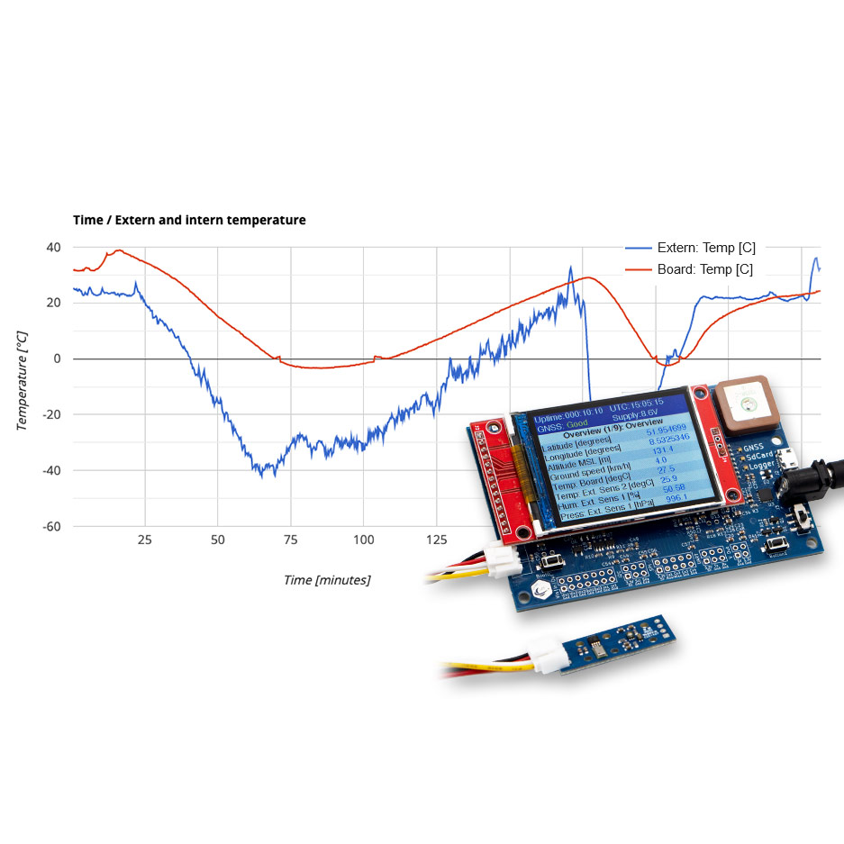
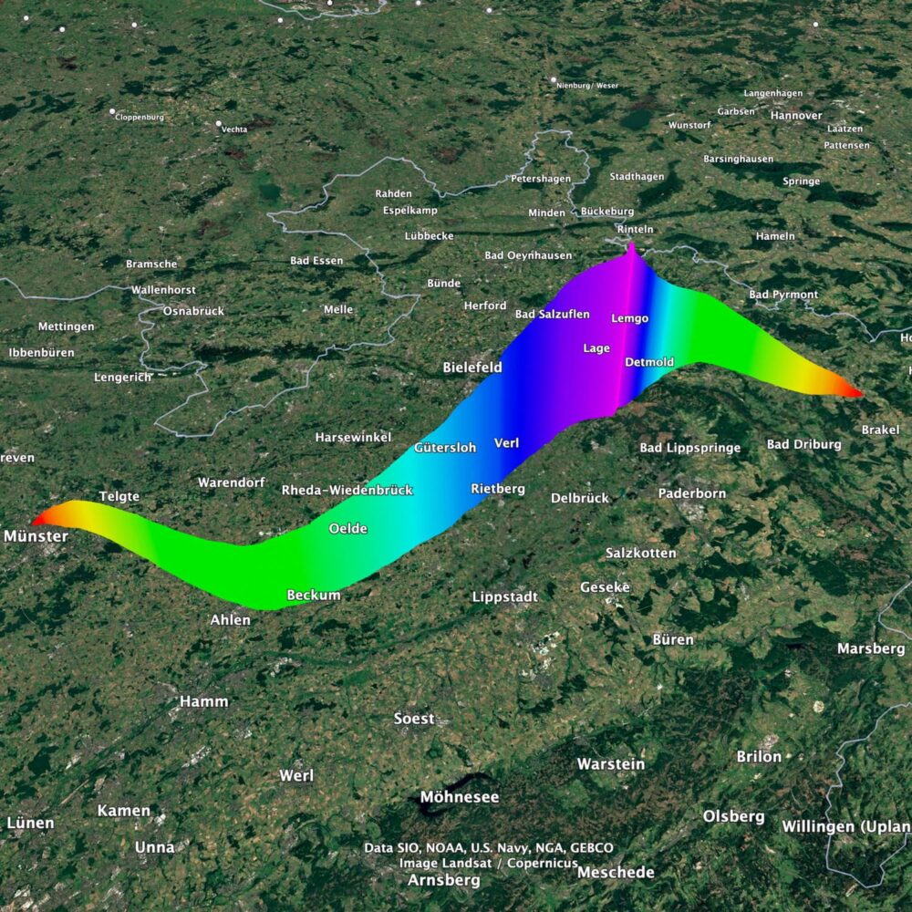
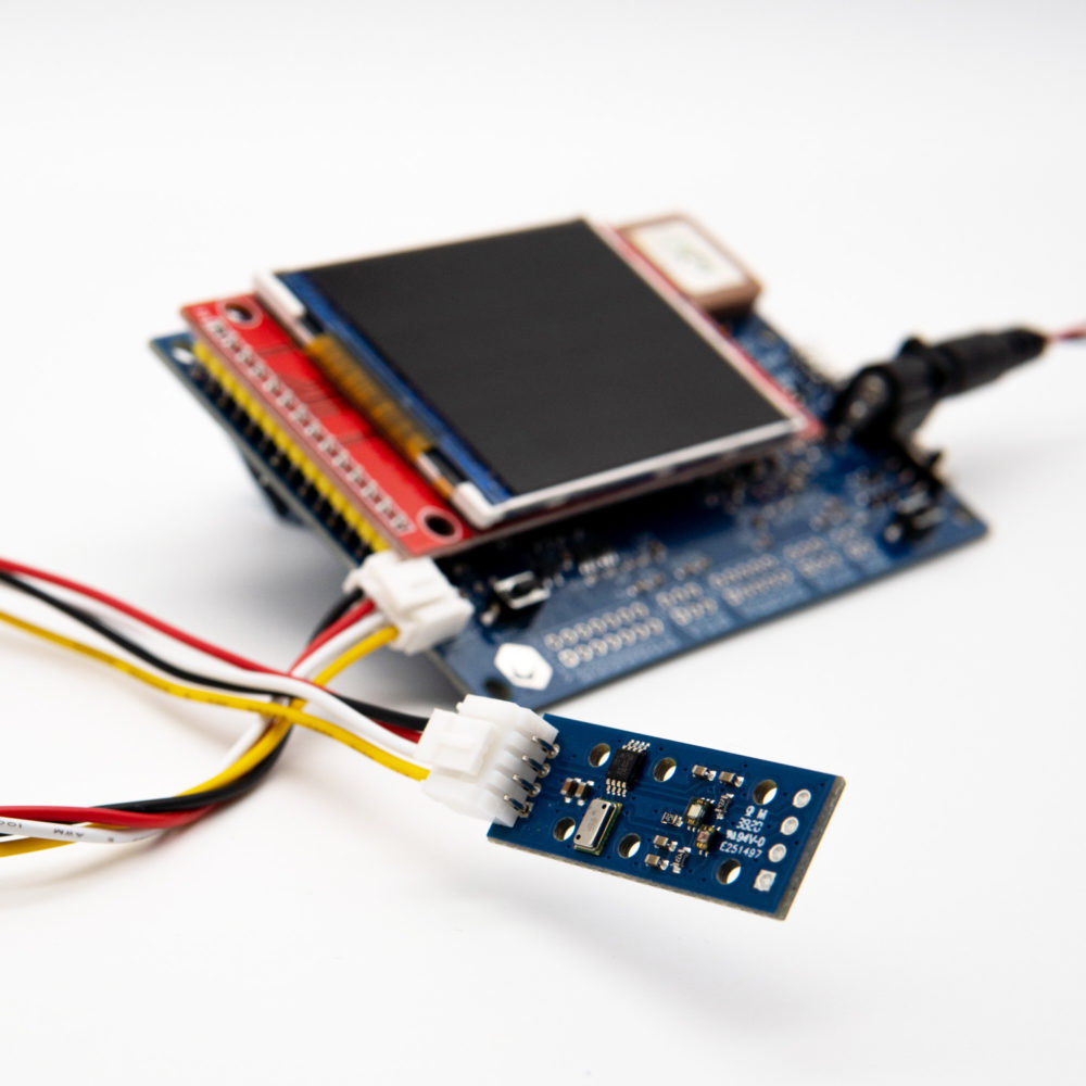
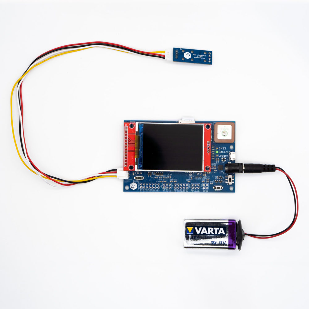
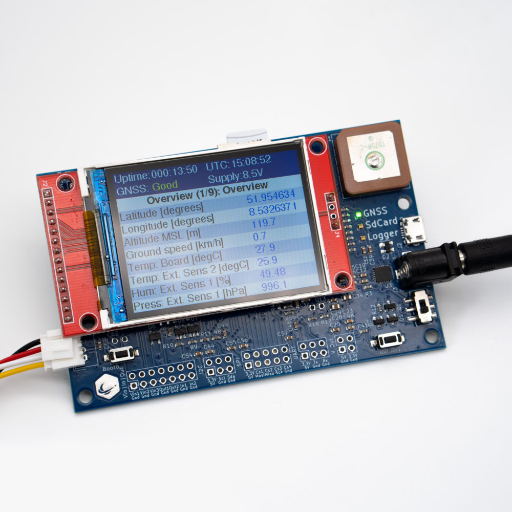
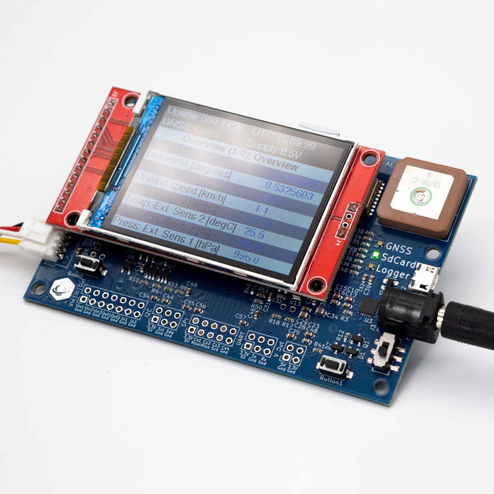
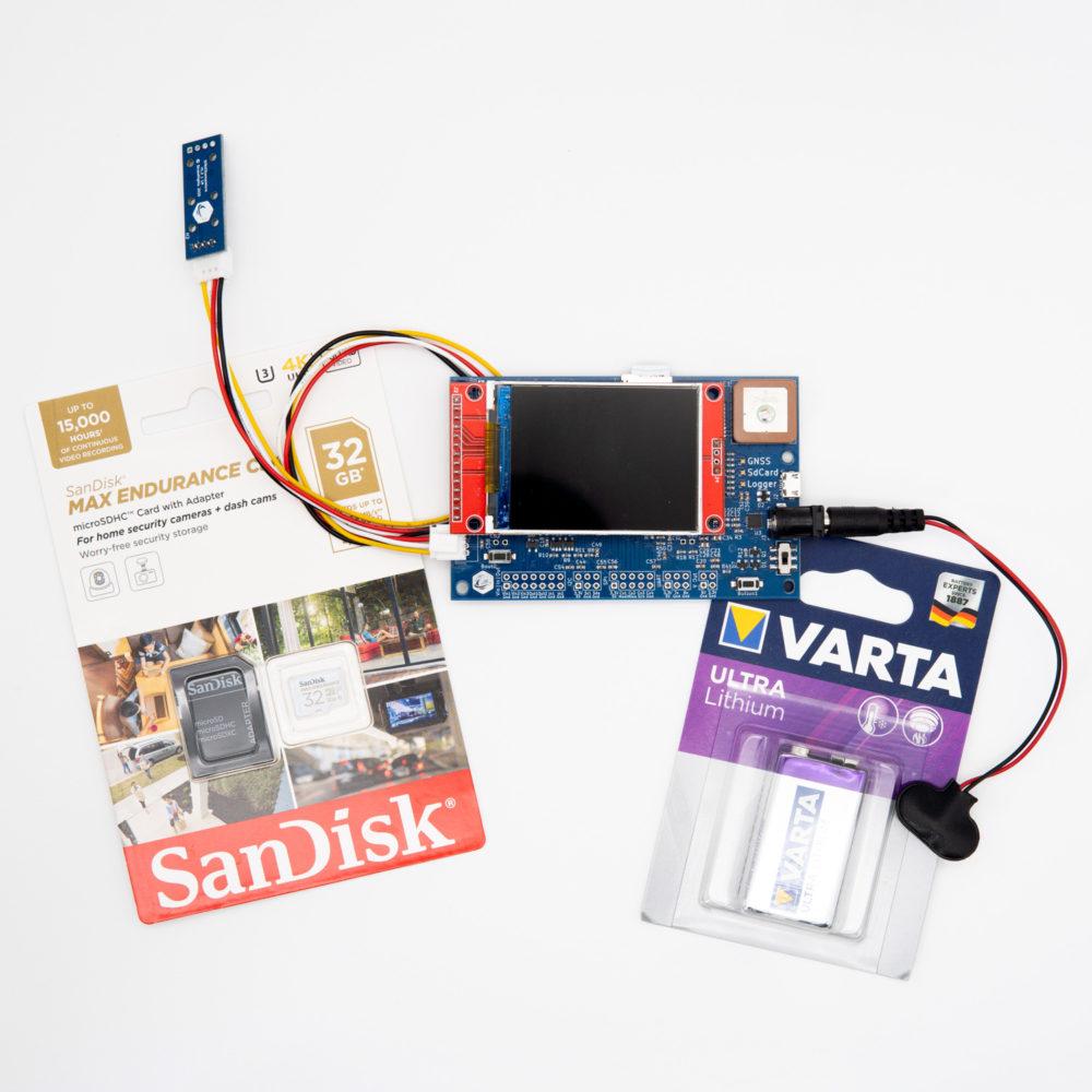
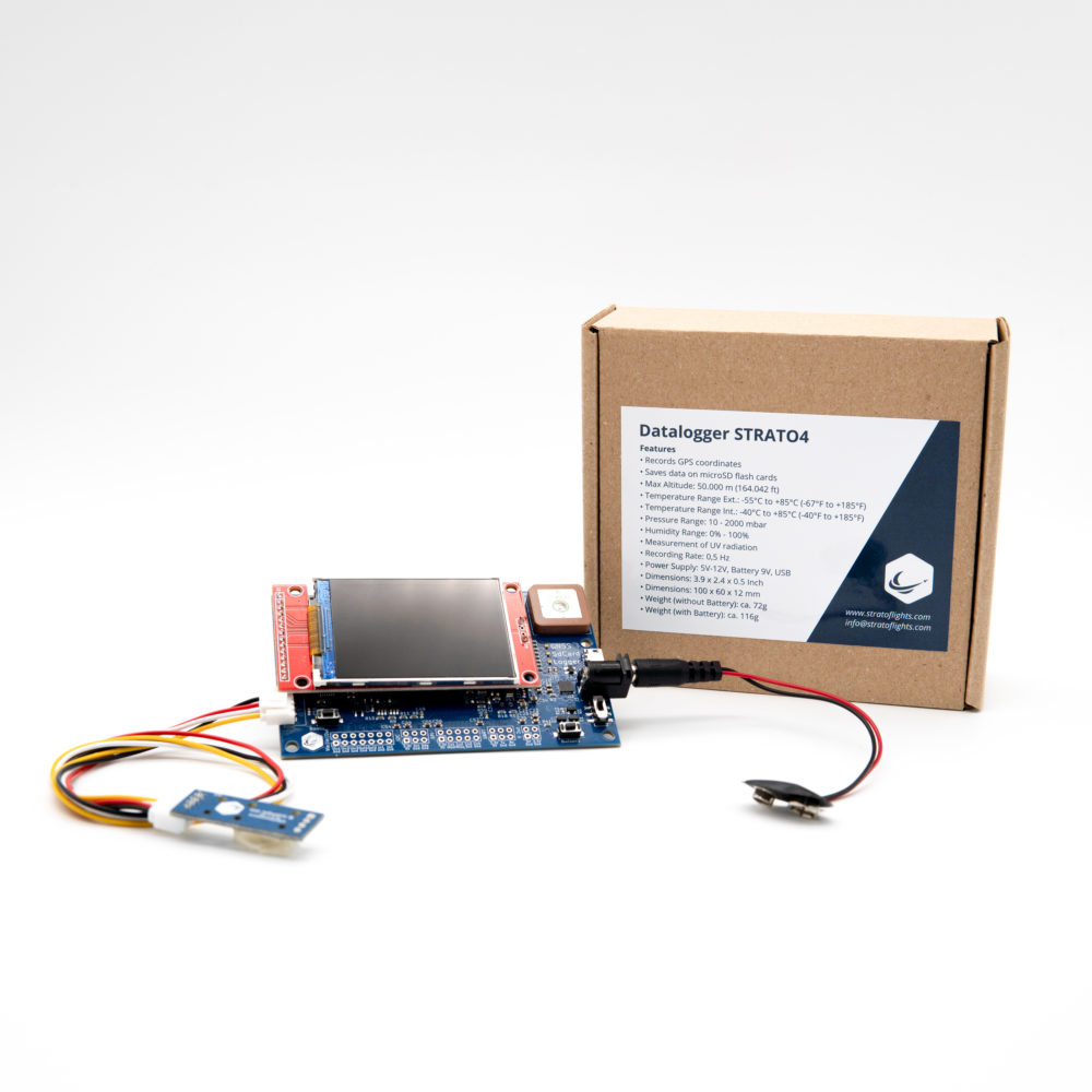
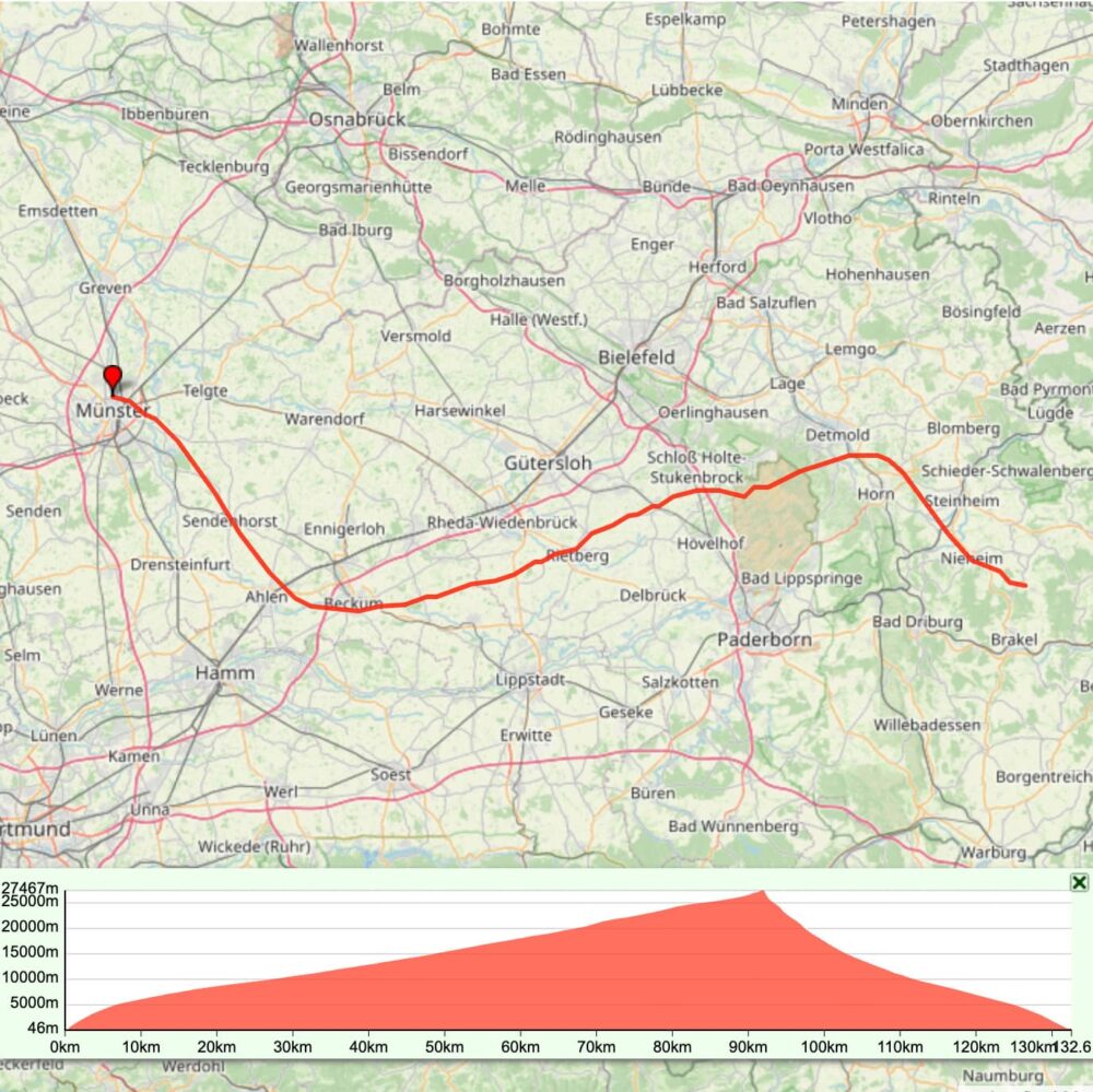
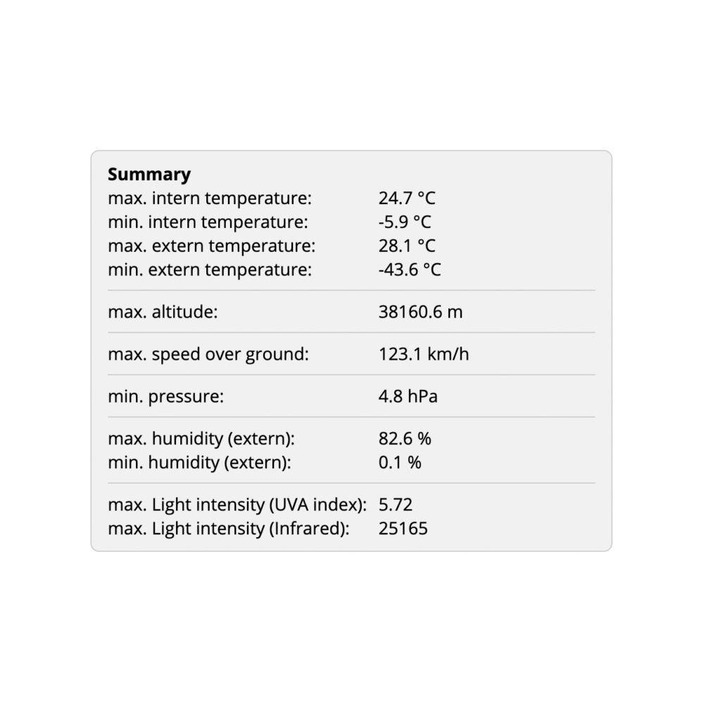
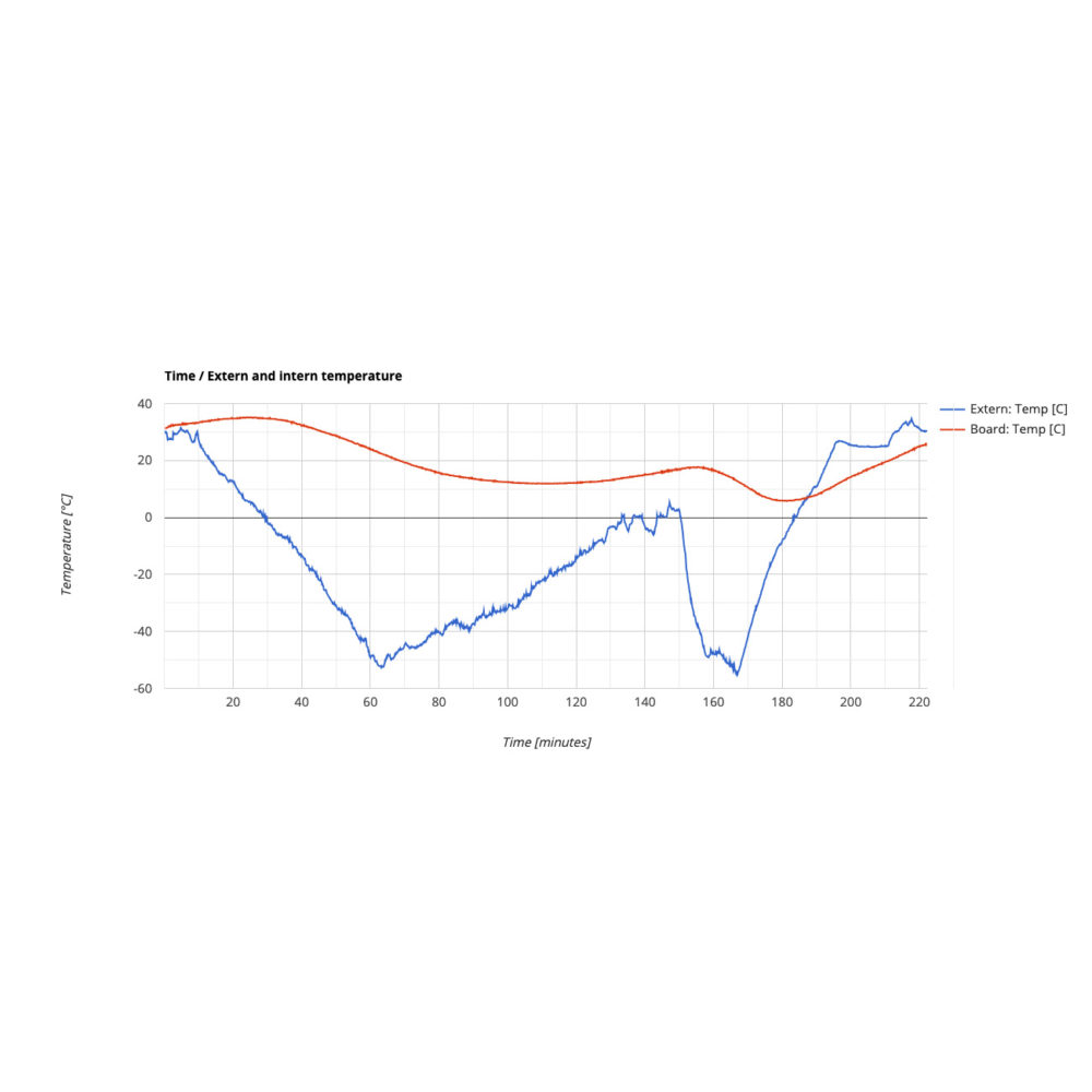
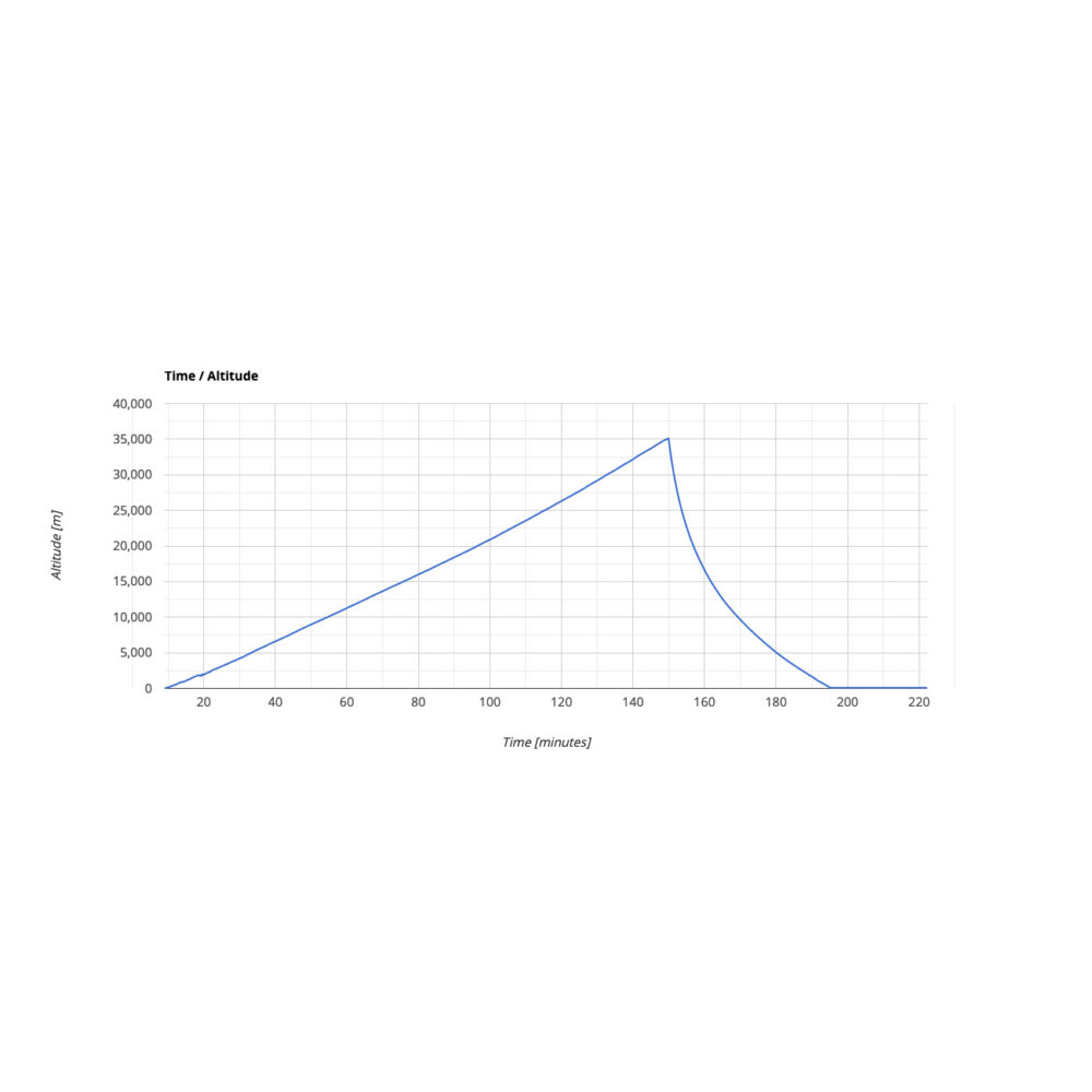
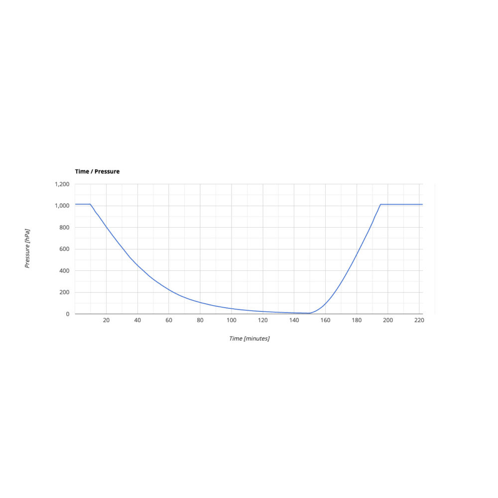
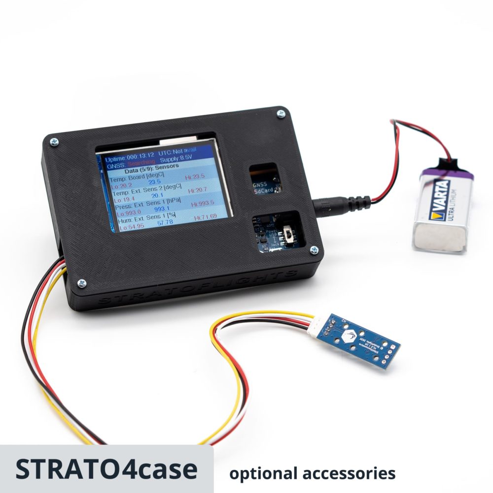
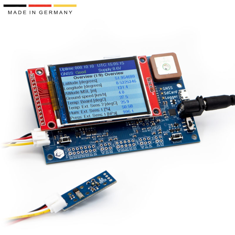
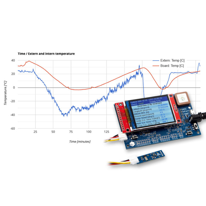
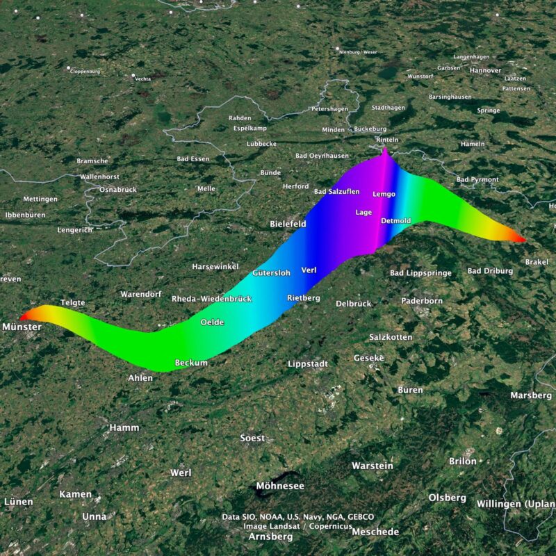
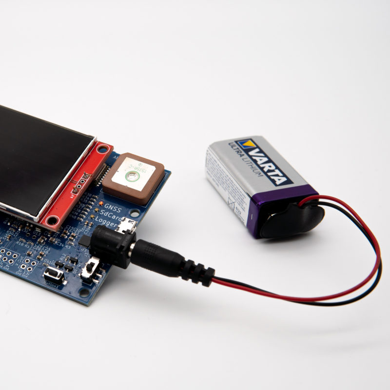
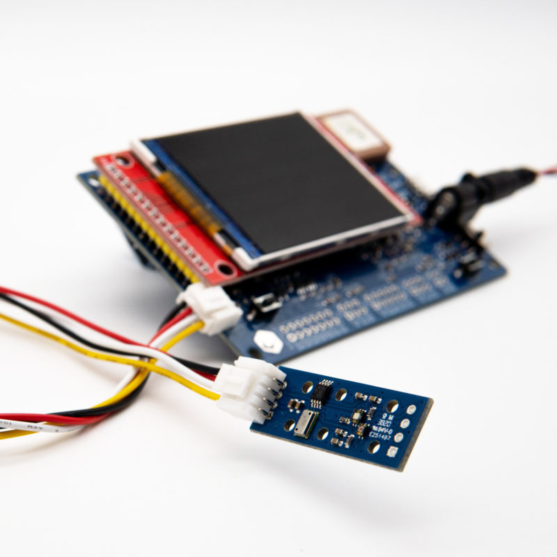
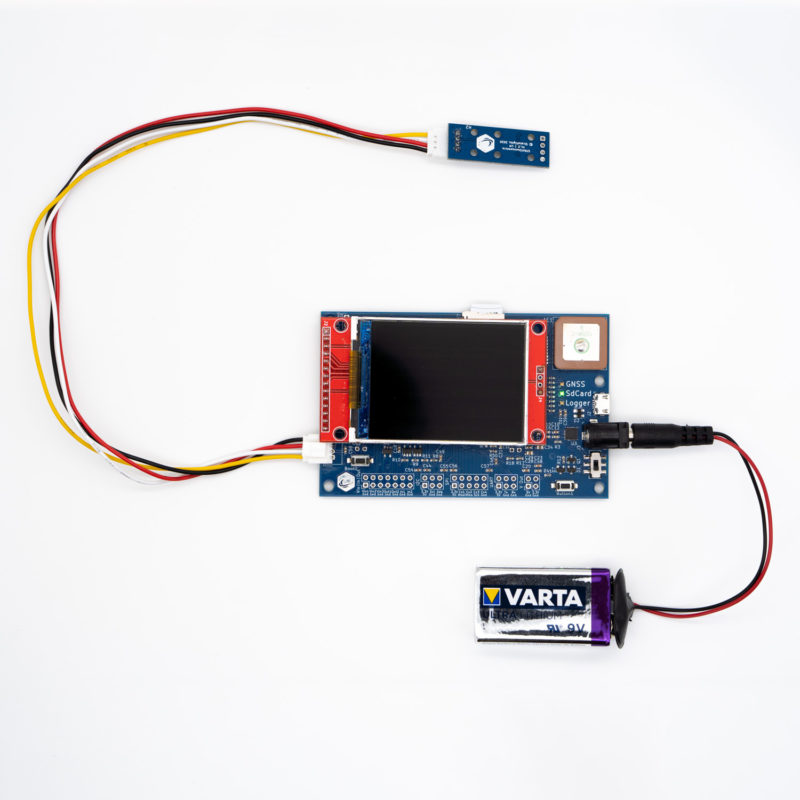
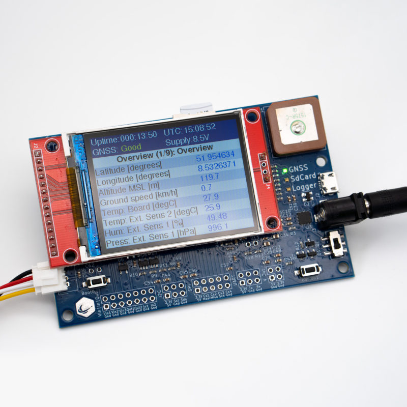
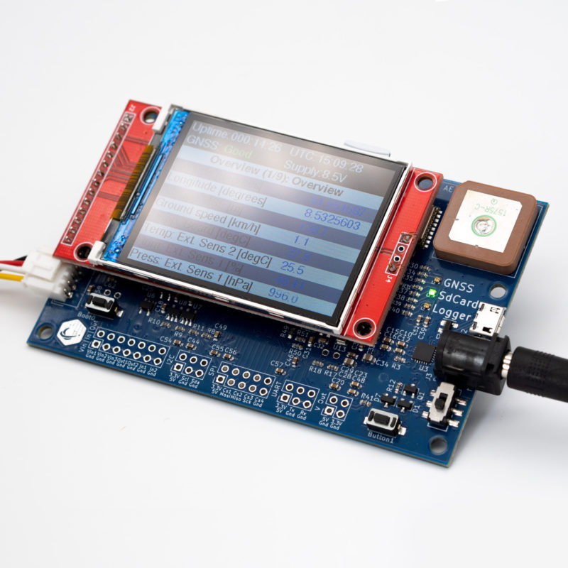
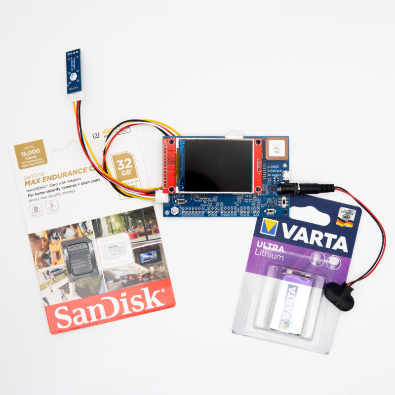
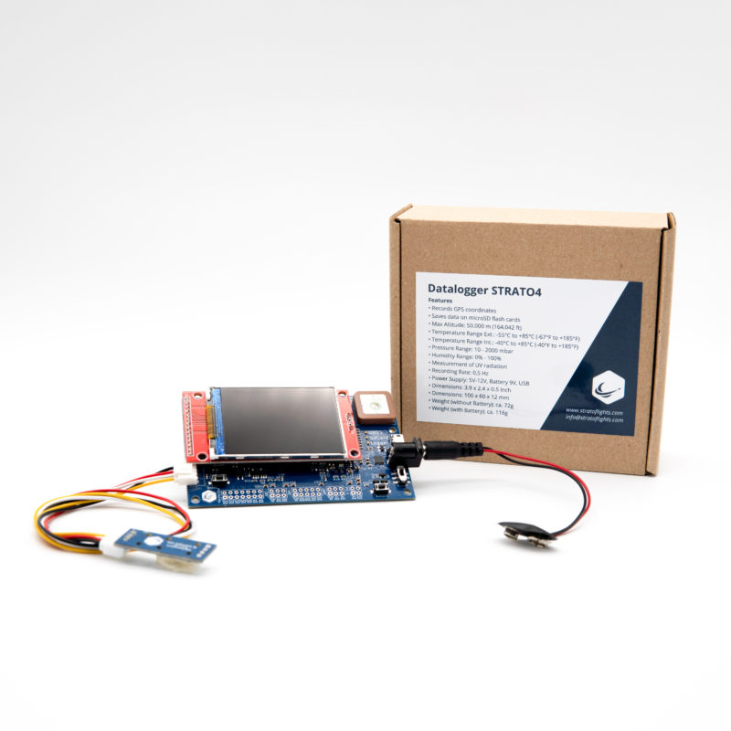
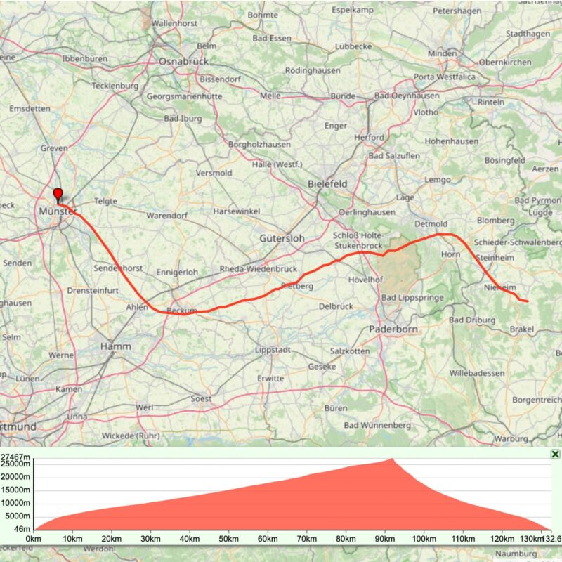
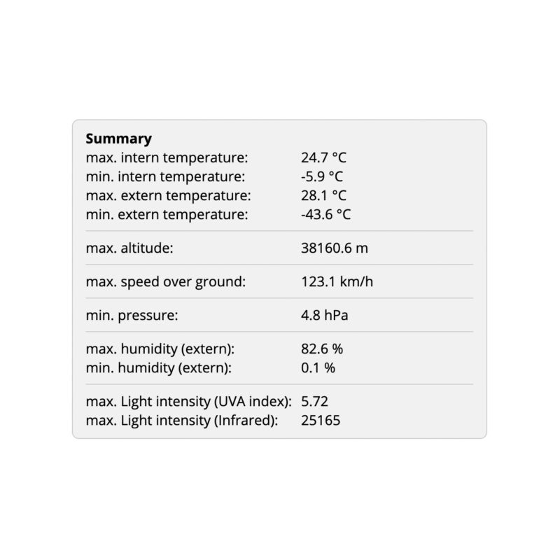
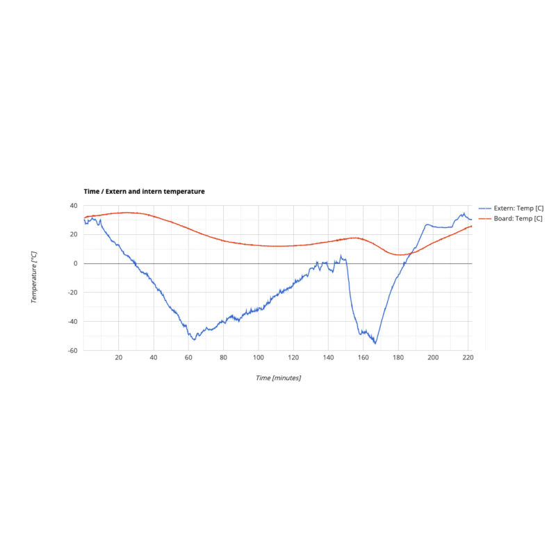
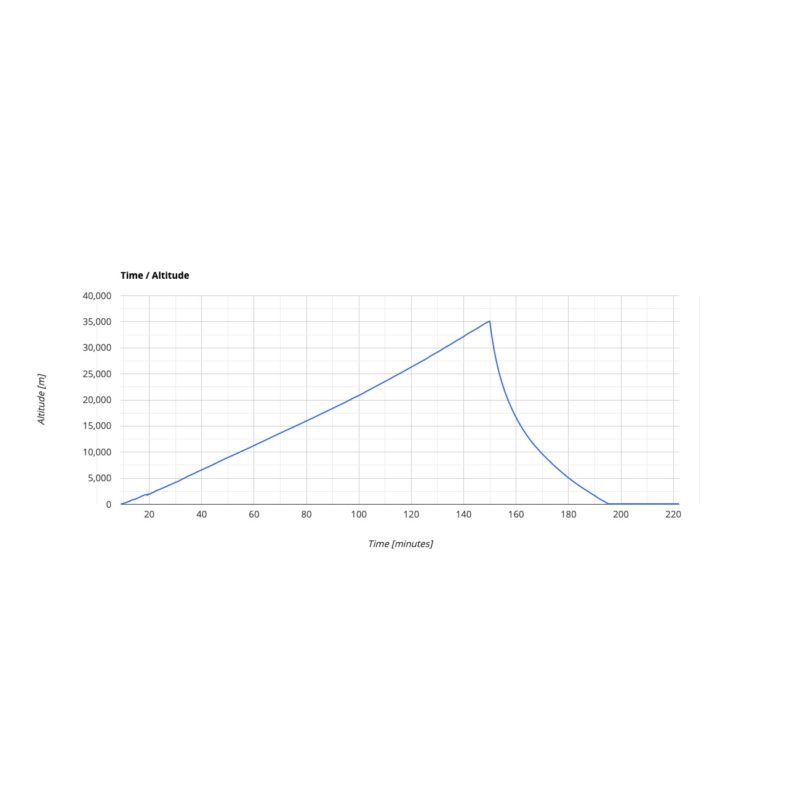
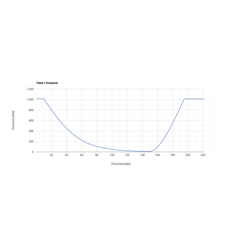
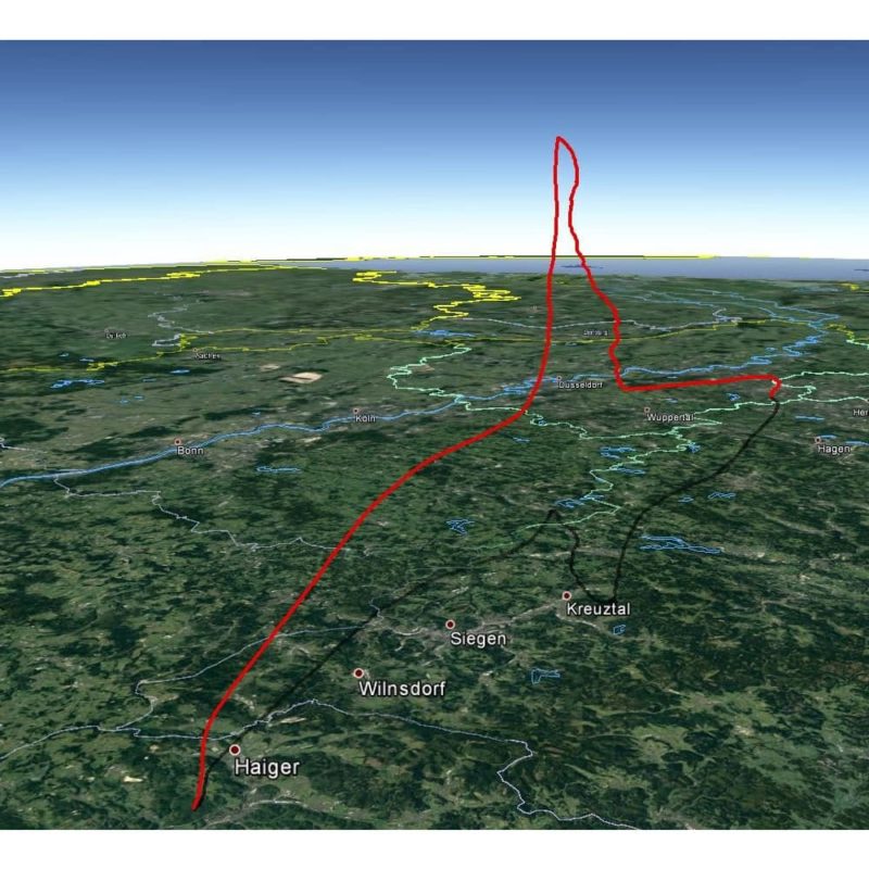
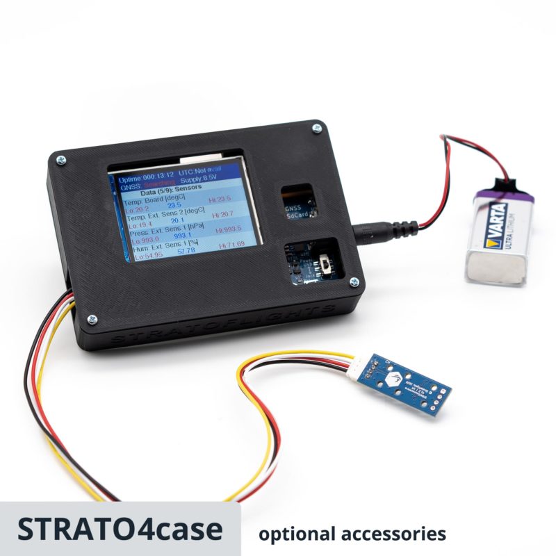
The Datalogger STRATO4 was developed by the engineers at Stratoflights specifically for recording measurement data from stratospheric flights and records data up to an altitude of 50,000 metres. With the Datalogger STRATO4, the secret of the altitude reached can now finally be revealed. In addition to the altitude and GPS position and thus the speed, the STRATO4 records further measurement data such as humidity, indoor and outdoor temperature, UV and infrared radiation, air pressure and much more on a microSD card every 2 seconds. After the flight, the data can be easily analysed on the PC with the Datalogger Evaluation tool. The tool creates numerous graphics with just a few clicks and, as a special highlight, the flight route can be displayed as a 3D curve in Google Earth. Via a serial interface, the data logger offers the possibility to read out the data for own extensions. The enclosed sensors can be attached outside the probe via a 30 cm long cable, so that the data logger is safely protected inside against the extreme influences of the stratosphere. Its lightweight and space-saving design makes it ideal not only for reaching maximum flight altitudes with the weather balloon, but also for launching a real research flight into the stratosphere thanks to the extensive data collection. Operation is very simple, all values are shown on a large colour display and no programming knowledge is required. Thus, the Datalogger STRATO4 belongs on board every stratospheric flight.
Features
- Unlocked GPS module: Stores data up to 50,000 metres altitude. Most GPS modules lock at altitudes above 18,000 metres.
- Saves data every 2 seconds on a microSD card as a .csv file
- Easy evaluation of the data by reading out the microSD card
- Simple operation, no programming knowledge required
- Online tool: Datalogger evaluation to create graphs
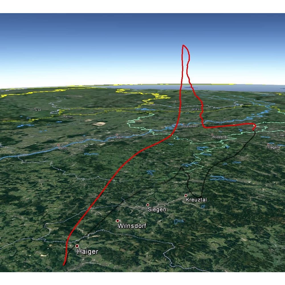
- Online tool: Datalogger evaluation to create a 3D flight curve in Google Earth
- UART data interface: for reading out the measured values and GPS data, e.g. with a Raspberry Pi
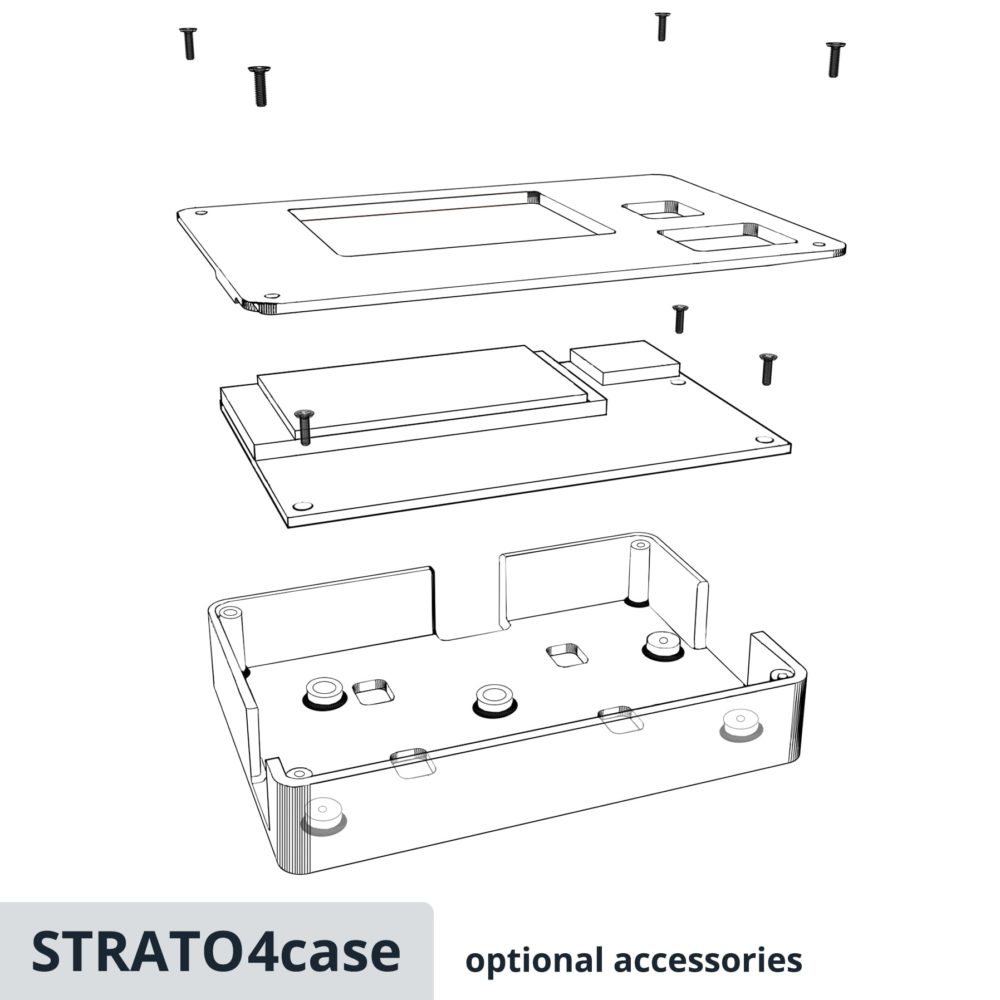
- Lightweight and space-saving design (72g) with large colour display
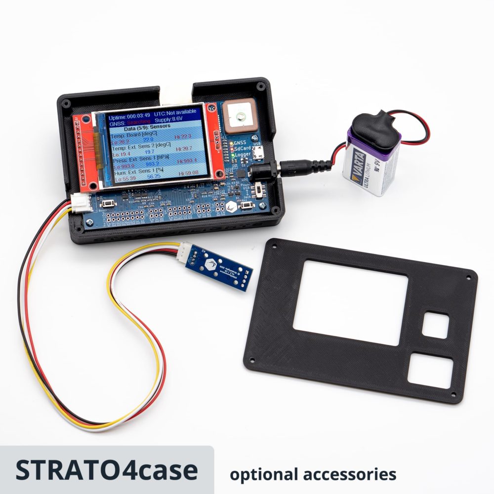
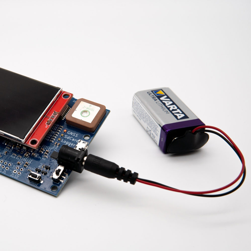
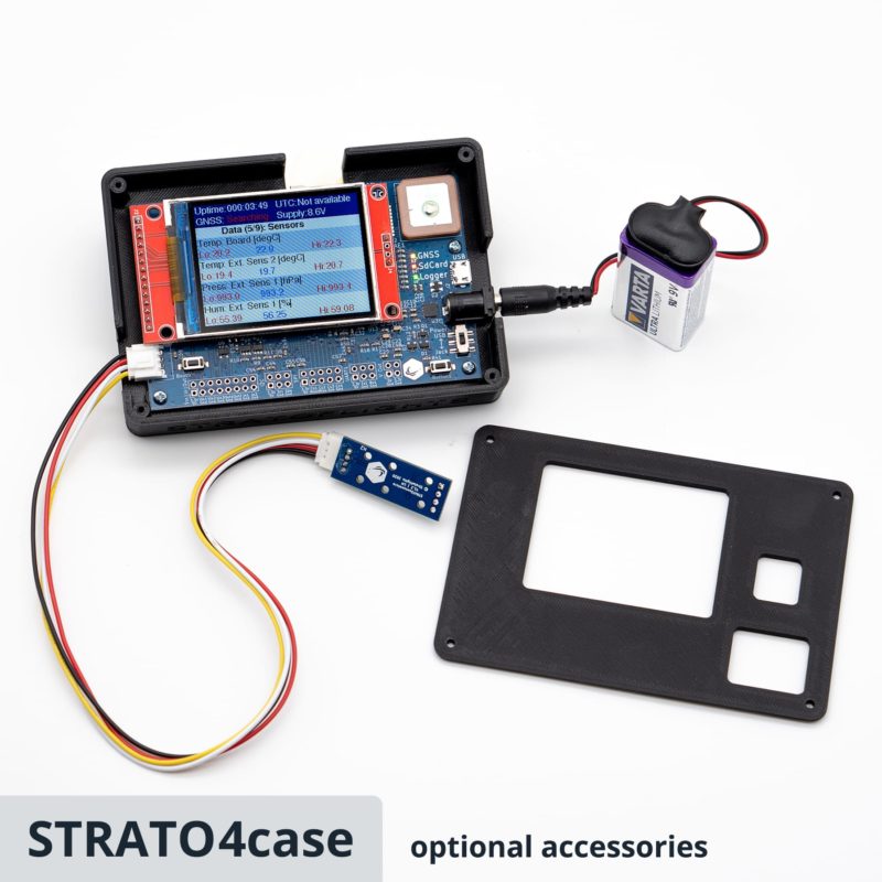
- Battery operation (9V)
- Comprehensive illustrated instruction manual
Measurement data
- Current running time
- Date and time (UTC)
- Accuracy of the GPS signal
- Number of satellites used
- GPS position (longitude and latitude)
- Speed over ground
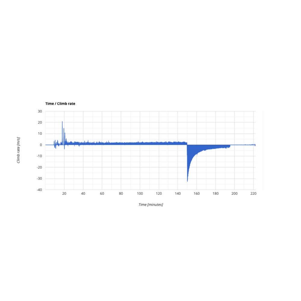
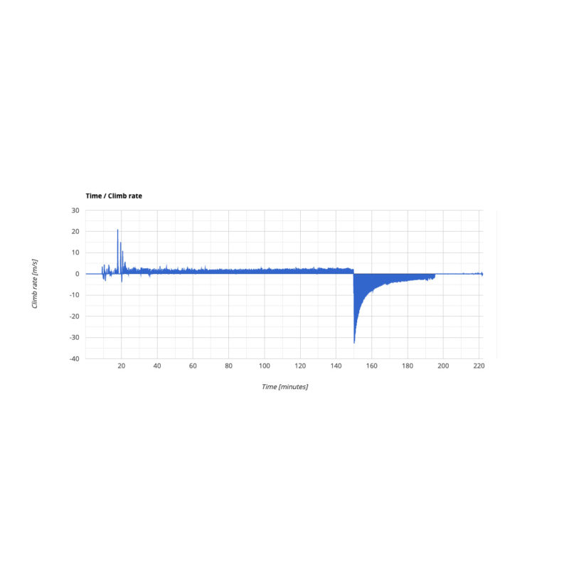
- Rise and descent speed
- Air altitude
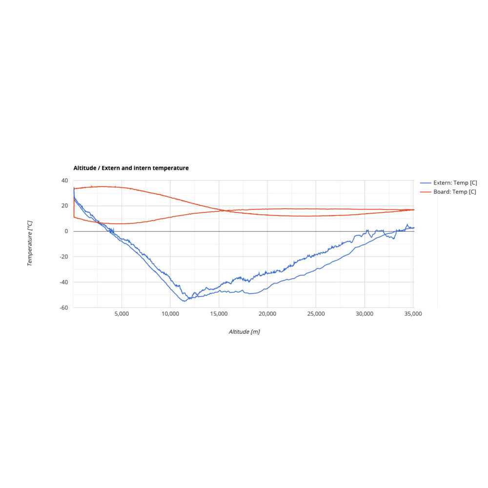
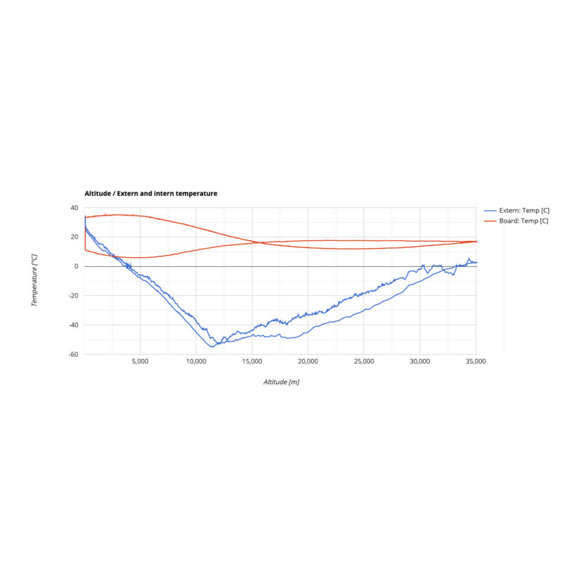
- Internal temperature
- Outside temperature
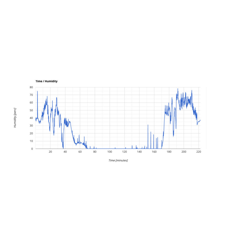
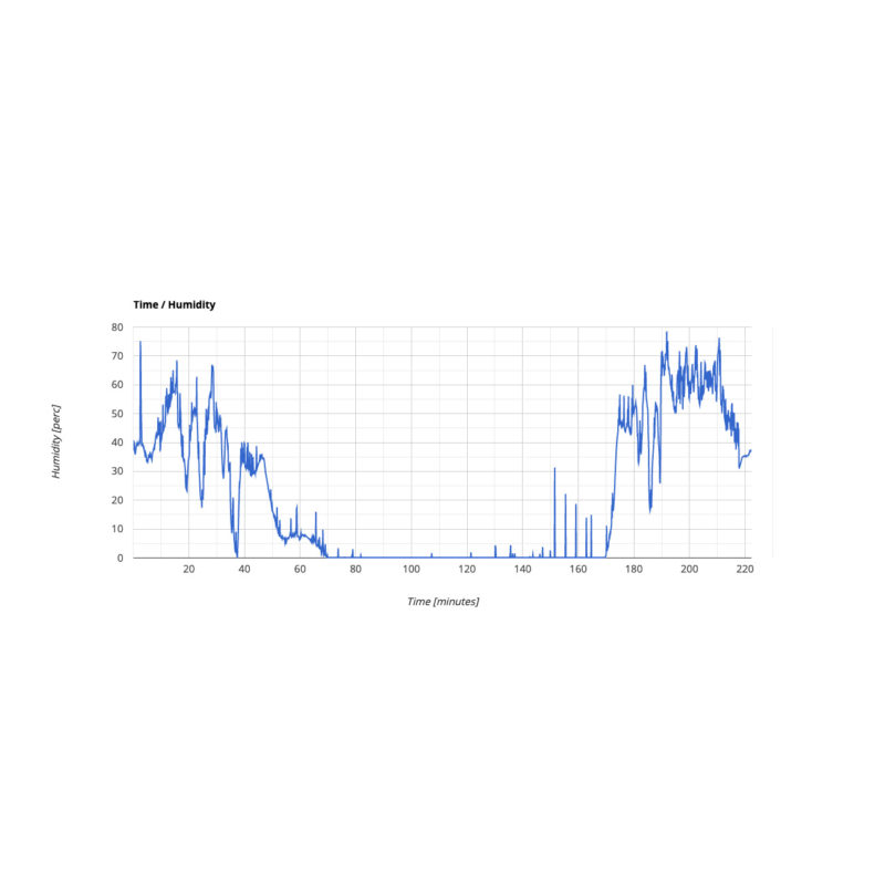
- Humidity
- Atmospheric pressure
- UV radiation
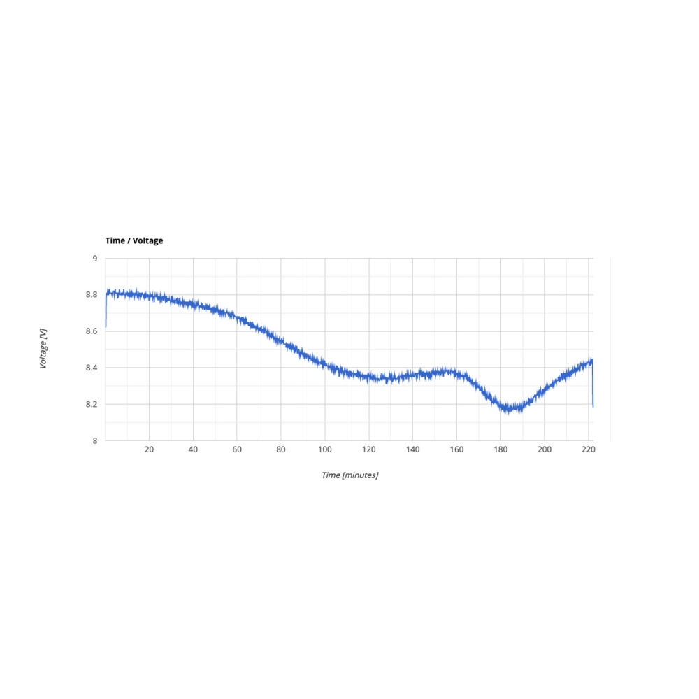
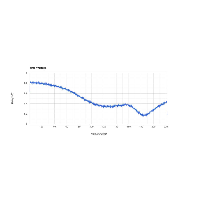
- Battery voltage
Useful links
- Download the manual
- Data Sheet Datalogger STRATO4 (PDF)
- Tool for measurement data evaluation and 3D curve in Ayvri
- Tool to create the 3D curve in Google Earth
- Example file: 3D-Curve-Google-Earth
- Example STRATO4 log file
Video tutorial for data logger evaluation







School project –
Very good device and excellent support keep up the good work , also fast shipping and very good price , this is a very robust device and works really good and accurate
H. Opel –
Our students learned a lot about our atmosphere and data evaluation. Thank you for providing this device ?
Bertrand Drice –
The datalogger has greatly enriched our school project. Analyzing the data from his own flight is very interesting. The data logger worked reliably and made a high-quality impression. Also, the tool for evaluation is well done. I can definitely recommend this device for school projects. Thank you for your nice support! Greets from France, Drice
Carlos S. –
How amazing is the 3D flight track? Good job guys.
Ed –
Love the data we got from this little device! Totally necessary if your launch is part of a school project and totally brilliant even if its not. Great software application with the data.
Wosnitza –
Great device, love it!